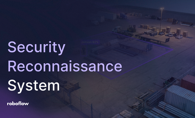
30 Jun 2026 • 8 min read Building a Drone-Based Security System with Computer Vision Learn how to build an automated drone security system. Use Roboflow inference, supervision, and PTZ cameras to detect intrusions and dispatch drones.
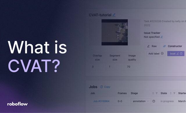
21 Mar 2026 • 7 min read What Is CVAT (Computer Vision Annotation Tool)? Learn how to annotate images in CVAT, an open-source, web-based tool for labeling data for object detection, segmentation, classification, and other tasks.
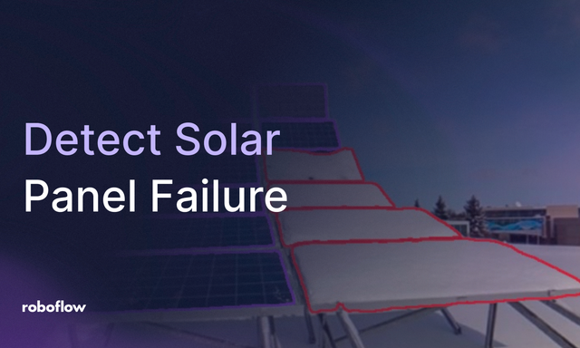
17 Mar 2026 • 4 min read Detect Solar Panel Failure with SAM 3 Learn how to use Roboflow Workflows and SAM 3 to segment snow-covered solar panels and automate maintenance alerts in real-time.
14 Feb 2025 • 8 min read How to use Llama 3.2 Vision for OCR Learn how to use Llama 3.2 Vision block in Roboflow Workflows to extract text from images.
6 Feb 2024 • 5 min read Identify Solar Panels in Aerial Imagery with Computer Vision Learn how to identify solar panels in aerial imagery with computer vision.
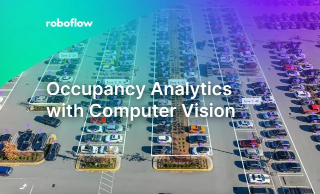
31 Jan 2024 • 9 min read Occupancy Analytics with Computer Vision Computer vision can be used to understand videos for real-time analytics and automatically gather information about complex physical environments.
19 Sep 2023 • 10 min read Aerial Fire Detection with Drone Imagery and Computer Vision In this article, Timothy Malche shows the steps he followed to build an aerial fire detection system with drone imagery and computer vision.
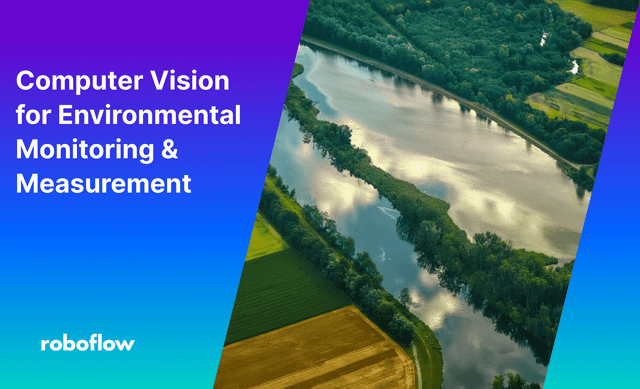
28 Jul 2023 • 10 min read How to Use Computer Vision for Environment Monitoring SUMMARY Satellite and drone imagery analyzed by computer vision models can measure environmental change at a scale and frequency that manual scientific monitoring cannot match, turning pixel data into quantifiable ESG metrics like built-up area, deforestation extent, water coverage, and crop health. This guide walks through building a remote
25 Jul 2023 • 5 min read Detect and Segment Oil Spills Using Computer Vision SUMMARY Drone footage of an oil spill carries enough information to determine spill volume, thickness, and spatial extent, but only if the imagery is analyzed with a model trained to distinguish those properties. This post walks through building an instance segmentation model that labels oil spill regions by thickness class,
15 Dec 2022 • 8 min read Computer Vision Assisted Structural Damage Inspection Using Drones In this post, Timothy Malche walks through how to inspect structural damage with computer vision and drones.
14 Sep 2022 • 9 min read Using Computer Vision with Drones for Georeferencing SUMMARY A computer vision model can detect objects in drone footage but only tells you where something appears in a frame, not where it is on Earth. This tutorial shows how to combine detection output with the flight log from a DJI Mavic Air 2, converting pixel coordinates to latitude
26 Apr 2021 • 3 min read Image Augmentations for Aerial Datasets Learn how to apply image augmentations to aerial datasets for use in training computer vision models.
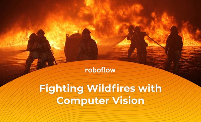
12 Oct 2020 • 2 min read Fighting Wildfires with Computer Vision SUMMARY Abhishek Ghosh, a graduate student at Texas A&M working with AI For Mankind, trained an EfficientDet D0 computer vision model to detect early smoke from forest fires using images from weather towers. Using Roboflow Pro, he applied advanced augmentations and a static crop along the horizon line