8 Sep 2023 • 6 min read Roboflow Inference: Effortless Local Computer Vision Deployment with Python In this guide, we show how to use the Roboflow Inference pip package to run computer vision inference on device.
8 Sep 2023 • 6 min read Making a Traffic Sign Snap Lens with Roboflow and Lens Studio In this guide, we show how to make a Snap Lens that detects traffic signs and crosswalks using Roboflow and Snap Lens Studio.
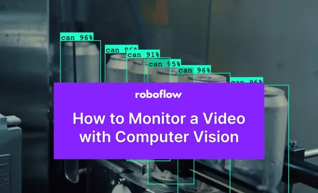
8 Sep 2023 • 6 min read How to Monitor a Video with Computer Vision In this guide, we show how to monitor a video for the presence and absence of objects across frames and time in a video.
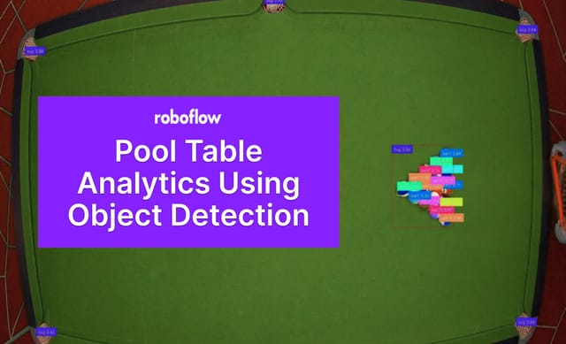
8 Sep 2023 • 6 min read Pool Table Analytics Using Object Detection In this guide, Abirami Vina shows how to build a pool table analytics system with object detection.
6 Sep 2023 • 7 min read How to Use Kaggle for Computer Vision In this guide, we show how to use Kaggle Notebooks for computer vision tasks.
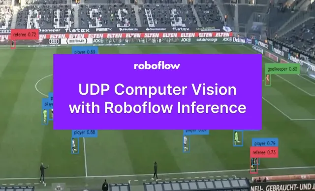
31 Aug 2023 • 5 min read How to Run Inference with UDP on Roboflow Inference In this guide, we show how to run inference using computer vision models over a UDP connection.
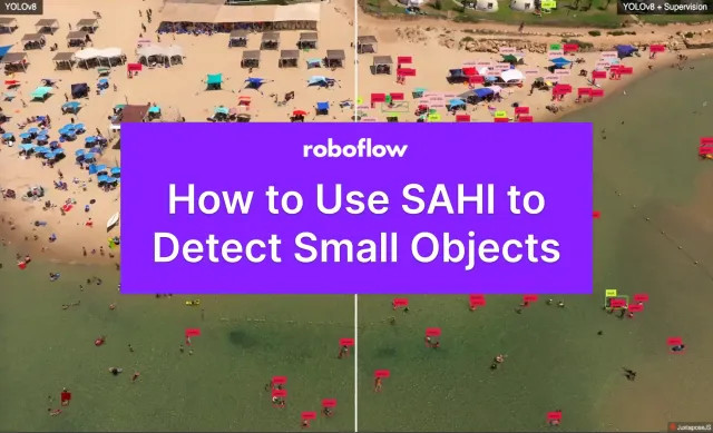
31 Aug 2023 • 4 min read How to Use SAHI to Detect Small Objects In this guide, we show how to use the SAHI implementation in the supervision Python package to detect small objects in images.
31 Aug 2023 • 8 min read Label Data, Train, and Deploy a Vision Model in One Command In this guide, we show how to use the Autodistill command line interface to label data for, train, and deploy a computer vision model.
29 Aug 2023 • 8 min read Use Cases for Computer Vision Foundation Models In this guide, we discuss what foundation models are and explore four use cases for computer vision foundation models.
28 Aug 2023 • 7 min read What is Mask2Former? The Ultimate Guide. In this guide, we discuss what Mask2Former is, how the model works, and how Mask2Former performs on various computer vision tasks.
28 Aug 2023 • 7 min read Automated Labeling for Images Organized in Folders In this guide, we show how to use a nested folder-based structure to automatically label images with Autodistill.
25 Aug 2023 • 9 min read How to Use Node-RED with Roboflow In this guide, we show how to run inference on computer vision models with Roboflow and Node-RED.
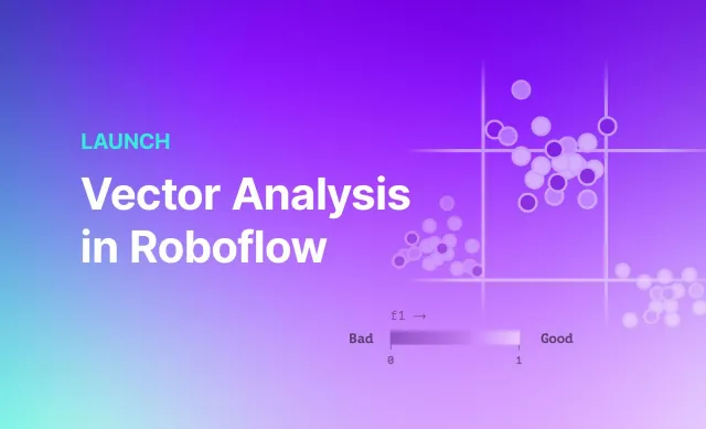
24 Aug 2023 • 4 min read Launch: Vector Analysis in Roboflow In this guide, learn how to use the Roboflow vector analysis tool to evaluate models and find opportunities to improve model performance.
23 Aug 2023 • 7 min read Using Computer Vision for Online Exam Proctoring This article was contributed to the Roboflow blog by Abirami Vina. Introduction Digital transformation is a common practice in various fields, including education. There has been a significant shift towards online learning and tests, offering advantages like increased access and flexibility for learners worldwide. However, this shift has also raised
23 Aug 2023 • 2 min read Launch: QR Code Model Deployment Roboflow’s newest feature lets you easily enable anyone to access your models by scanning a QR code to instantly use a model in a mobile browser. You can now quickly get your model into the hands of anyone with a mobile phone to test models or benefit from your
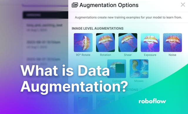
23 Aug 2023 • 7 min read What is Data Augmentation? The Ultimate Guide. In this guide, we talk about what data augmentation is, how augmented data can boost model performance, and how augmentations are used in computer vision.
23 Aug 2023 • 4 min read Launch: Filter Image Datasets by Tag In this guide, we show how to filter image datasets by tag to generate new, refined sets on which you can train a computer vision model.
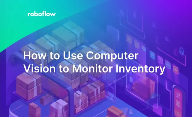
22 Aug 2023 • 6 min read How to Use Computer Vision to Monitor Inventory: Inventory Management AI Real-time insights extracted from video streams can drastically improve efficiency for how industries operate. One high-impact application of this is in inventory management. Whether you’re a factory manager looking to improve inventory management or a store owner striving to prevent stockouts, real-time data can be a game-changer. This tutorial
17 Aug 2023 • 3 min read Deploying OpenAI's CLIP Model on a NVIDIA Jetson Orin In this guide, we show how to deploy OpenAI's CLIP model to an NVIDIA Jetson using the Roboflow Inference Server.
16 Aug 2023 • 7 min read Floor Plan Analysis with Computer Vision Learn how to analyze floor plans with computer vision.
16 Aug 2023 • 5 min read Open Source Computer Vision Deployment with Roboflow Inference We are open sourcing the Roboflow Inference Server: our battle-hardened solution for using and deploying computer vision models in production. Learn more in this guide.
15 Aug 2023 • 5 min read Ultimate Guide to Converting Bounding Boxes, Masks and Polygons In this guide, we show how to convert bounding boxes (xyxy), masks, and polygons.
11 Aug 2023 • 7 min read How We Work Together at Roboflow Roboflow is pioneering distributed work as a way of working together remotely. In this post, we discuss what distributed work is and how it helps our team collaborate.
9 Aug 2023 • 8 min read How to Reduce Dataset Size Without Losing Accuracy Learn how to reduce the size of your computer vision dataset without losing accuracy.